This last year the agricultural sector was marked by an increase in the costs of primary and non-primary goods, especially energy and fuel.
The first crops to be affected by these changes were autumn-winter cereals. Among the main cereal management problems are: the high cost of fertilizers, energy costs for production, a strong uncertainty about prices and European policies, which continue to contain the use of chemical inputs and instead encourage the use of digital tools.
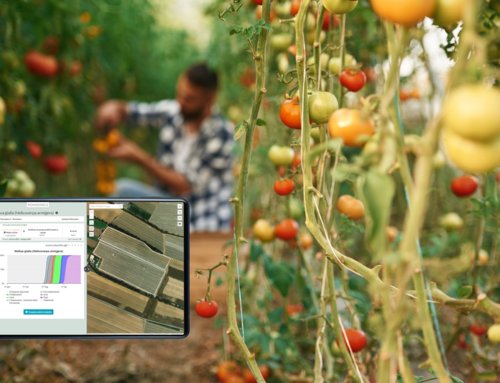
There is the need to optimize fertilization, maintain and improve the yield and quality of the grain. This is a great challenge, accentuated by the variability of the agricultural environment caused by climate change. This is why the adoption of precision agriculture tools plays a fundamental role, in particular for data analysis and specific site management of the field.
The feature Maps Uploading: a valuable tool for farms
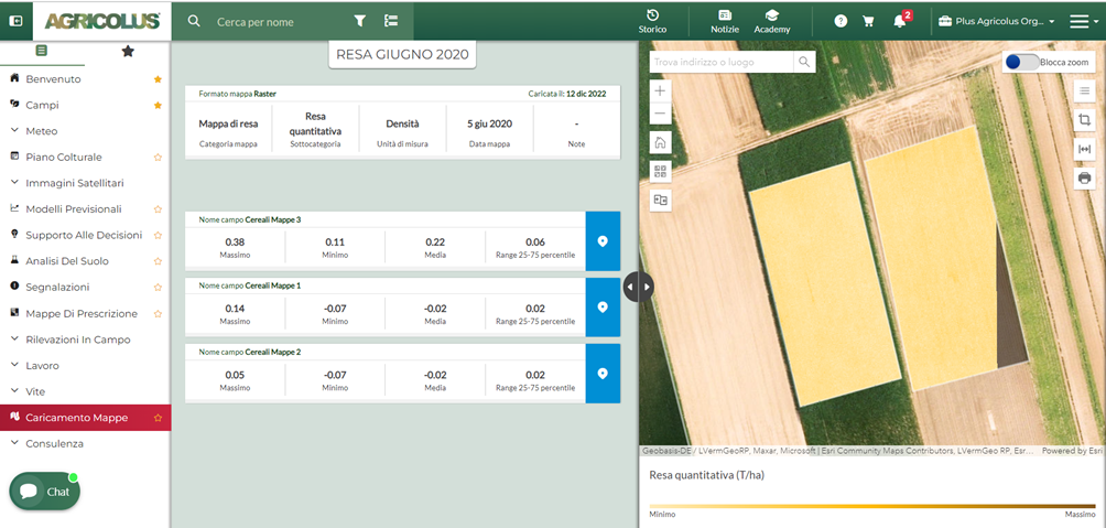
The new feature of Agricolus “Maps Uploading” aims to help the farmer and the technician to check the information on each map and compare it with each other to obtain a valid decision support system. The maps that can be uploaded into Agricolus platform are:
- Soil Maps (with info on the soil texture, conductivity, specific weight, pH, CEC);
- Yield Maps (with info on the yield, protein);
- Multispectral maps of various types (NDVI, LAI, SAVI, GNDVI, WRDVI, TCARI/OSAVI, NDMI, NMDI, SINGLE BANDS, OTHER) processed by drones or other systems;
- Prescription Maps.


In Agricolus it is possible to insert geographic data of Raster and Shapefile type (Polygons and Points). The user can enter useful information for the integration and interpretation of the map, which can then be viewed directly on the platform and compared with other data.
Geofenced files with WGS84 geographic coordinate system can be uploaded, but the reprojection system can also be used for other coordinate systems, either flat and geographic.
An automatic model of spatial analysis identifies all the fields uploaded by the user that cross the area affected by the map, so the user can select the fields to which the map refers.