

The Precision Farming
Increasing high-quality production and sustainability in the agricultural sector through innovation are among the most important challenges for the years ahead.
Precision Farming (PF) plays a decisive role in this process, as it enables farmers to manage variability within the field, optimise agronomic practices and promote greater yield uniformity.
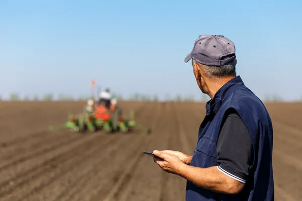
What is Precision Farming?
Precision Farming provides methods and techniques to optimise production. As an integrated system, it brings together a wide range of tools and technologies, which is why many attempts have been made in recent years to provide a comprehensive definition.
We can say that Precision Farming enables the right treatment to be applied in the right place at the right time. To do this effectively, equipment and technologies are needed to detect differences within the field and apply the inputs required by the crop at different rates across the field.
This approach is based on managing spatial and temporal variability, namely the differences that can occur between fields, within the same field or throughout the crop cycle.
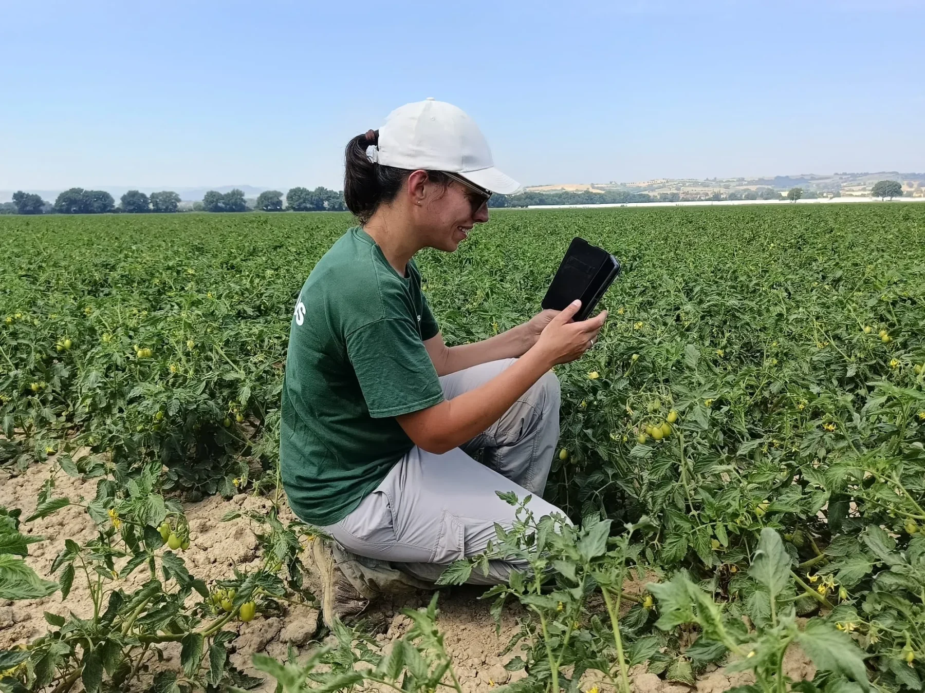
Plant requirements are not always uniform: they can vary depending on soil characteristics, weather conditions and the crop’s development stage. The goal is therefore to adapt agronomic practices to actual crop needs by identifying where, when, how and how much to intervene.
This makes it possible to move from uniform management to site-specific management, based on the observation and analysis of the data collected.
How does Precision Farming work?
To carry out targeted interventions, it is not enough to collect information: it must be transformed into useful insights for crop management. Precision Farming is based on a process that includes monitoring, data processing, decision support and the implementation of field operations.
This process can be divided into four stages.
The integration of monitoring tools, forecasting systems, farm management software and application technologies makes it possible to use available information to support farmers’ decision-making.
Precision Farming with Agricolus
Agricolus provides the technologies needed for Precision Farming, meaning that resource use is not “standardised” but calculated according to the actual needs of the crops. Treatments and irrigation are therefore carried out only when and where needed, reducing the use of inputs and water by up to 50% (based on data from literature sources and case studies).
Farmers can therefore focus on field operations while ensuring greater environmental sustainability without overlooking economic sustainability.
Agricolus integrates information from satellite imagery, weather data, sensors and field observations into a single app, combining these data with forecasting models and Decision Support Systems (DSS). These tools make it possible to monitor crop conditions, identify potential issues and plan interventions based on the available data.
Agricolus provides the technologies needed for Precision Farming, meaning that resource use is not “standardised” but calculated according to the actual needs of the crops. Treatments and irrigation are therefore carried out only when and where needed, reducing the use of inputs and water by up to 50% (based on data from literature sources and case studies).
Farmers can therefore focus on field operations while ensuring greater environmental sustainability without overlooking economic sustainability.
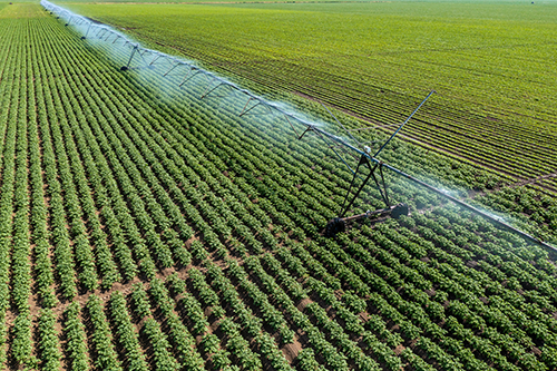
Agricolus integrates information from satellite imagery, weather data, sensors and field observations into a single app, combining these data with forecasting models and Decision Support Systems (DSS). These tools make it possible to monitor crop conditions, identify potential issues and plan interventions based on the available data.
Remote Sensing – Satellites and drones
Satellites and drones are the most widely used tools for remote crop monitoring. Agricolus’ R&D team calculates vegetation indices using data collected by these technologies.
Within the app, users can consult indices derived from Sentinel-2 satellite imagery for vegetation vigour, water stress and chlorophyll content, helping identify areas affected by crop stress where intervention may be required and optimise field operations.
Multispectral imagery makes it possible to observe differences in plant development, even within the same field. Through maps, it is possible to identify zones with different characteristics, compare crop conditions over time and guide further checks directly in the field.
Remote monitoring therefore provides valuable support for the timely detection of potential anomalies and the planning of agronomic interventions.
Satellites and drones are the most widely used tools for remote crop monitoring. Agricolus’ R&D team calculates vegetation indices using data collected by these technologies.
Within the app, users can consult indices derived from Sentinel-2 satellite imagery for vegetation vigour, water stress and chlorophyll content, helping identify areas affected by crop stress where intervention may be required and optimise field operations.
Multispectral imagery makes it possible to observe differences in plant development, even within the same field. Through maps, it is possible to identify zones with different characteristics, compare crop conditions over time and guide further checks directly in the field.
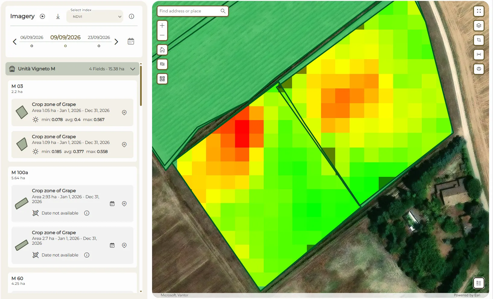
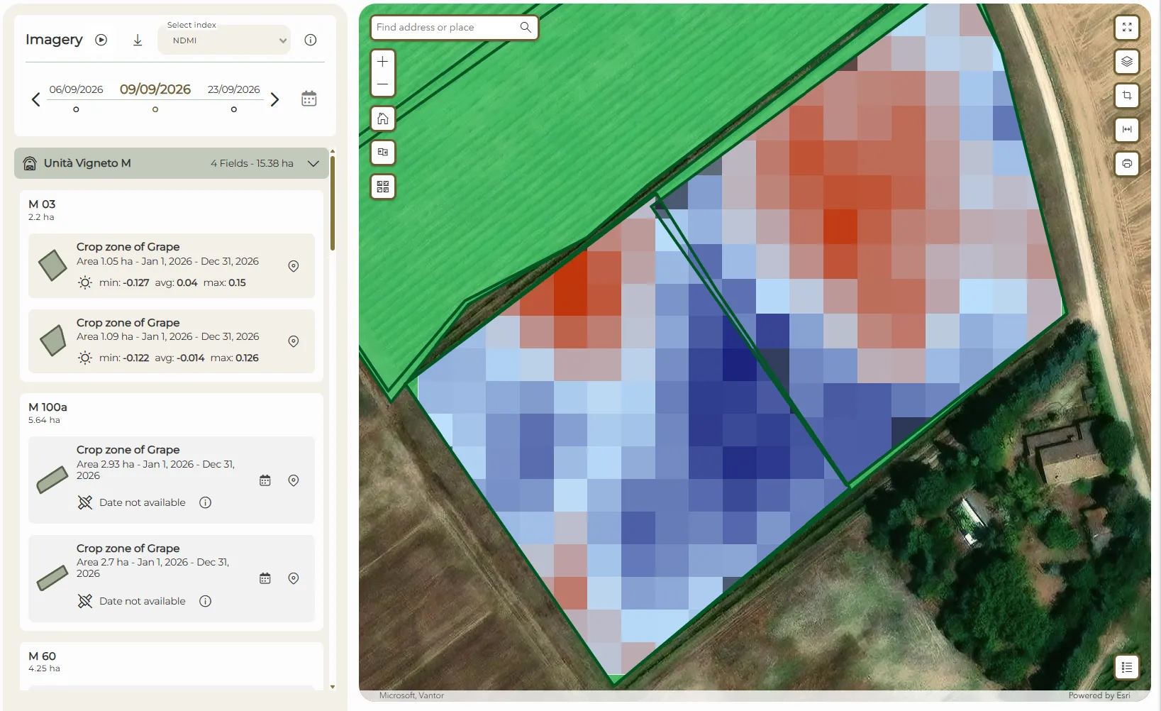
Remote monitoring therefore provides valuable support for the timely detection of potential anomalies and the planning of agronomic interventions.
Sensors and field observations
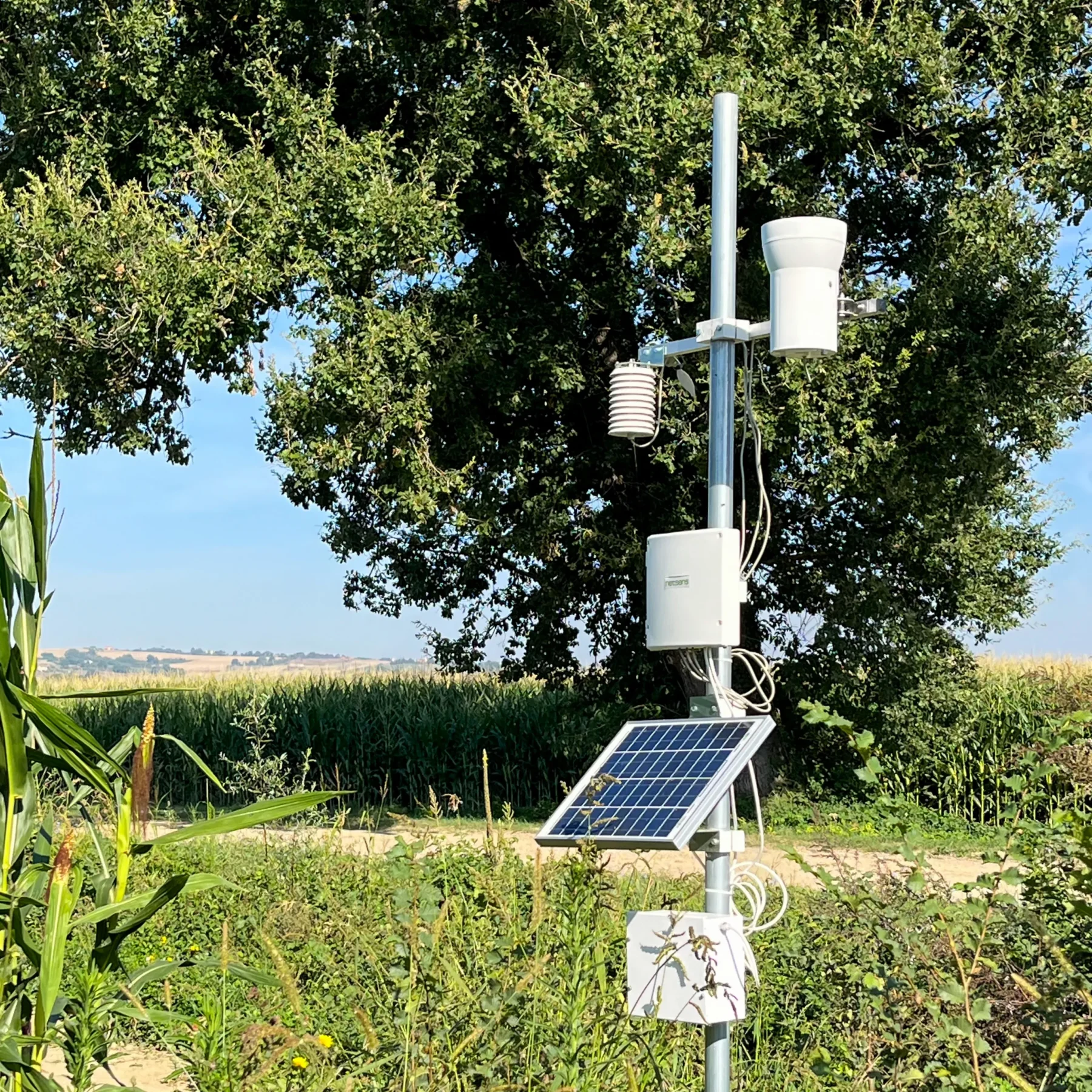
In addition to remote sensing, Precision Farming relies on tools that make it possible to collect information directly in the fields, such as weather stations, sensors and agronomic observations.
The collected data help describe environmental conditions and crop status, complementing satellite-derived data. Field data can also be geolocated and accessed through digital tools, making monitoring more organised and precise.
Forecasting models and Decision Support Systems
Forecasting models process weather, agronomic and crop data to estimate the evolution of specific phenomena and support activity planning.
When integrated into Decision Support Systems (DSS), they help farmers and technicians identify the most appropriate time to intervene. Agricolus provides models for irrigation, fertilisation, crop phenology and crop protection management, supporting more informed, data-driven decisions.
Forecasting models process weather, agronomic and crop data to estimate the evolution of specific phenomena and support activity planning.
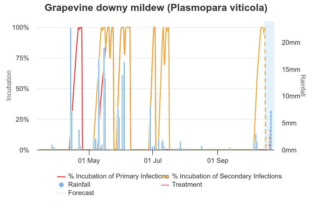
When integrated into Decision Support Systems (DSS), they help farmers and technicians identify the most appropriate time to intervene. Agricolus provides models for irrigation, fertilisation, crop phenology and crop protection management, supporting more informed, data-driven decisions.
Prescription maps and variable-rate fertilization
Variable-rate application technologies allow inputs to be applied to different parts of the field according to the site-specific needs of the crops. They can support crop operations such as sowing, irrigation, fertilisation and treatments.
With Agricolus, it is possible to create prescription maps for variable-rate fertilisation based on a vegetation index, dividing the field into different zones. The prescription map is downloaded and uploaded to the machinery to communicate how much product to apply based on its location in the field.
This approach moves beyond uniform fertiliser distribution and allows application rates to be adjusted according to the characteristics of different zones. Variable-rate fertilisation is therefore a practical example of how collected information can be transformed into actionable insights, promoting efficient input use.
Variable-rate application technologies allow inputs to be applied to different parts of the field according to the site-specific needs of the crops. They can support crop operations such as sowing, irrigation, fertilisation and treatments.
With Agricolus, it is possible to create prescription maps for variable-rate fertilisation based on a vegetation index, dividing the field into different zones. The prescription map is downloaded and uploaded to the machinery to communicate how much product to apply based on its location in the field.
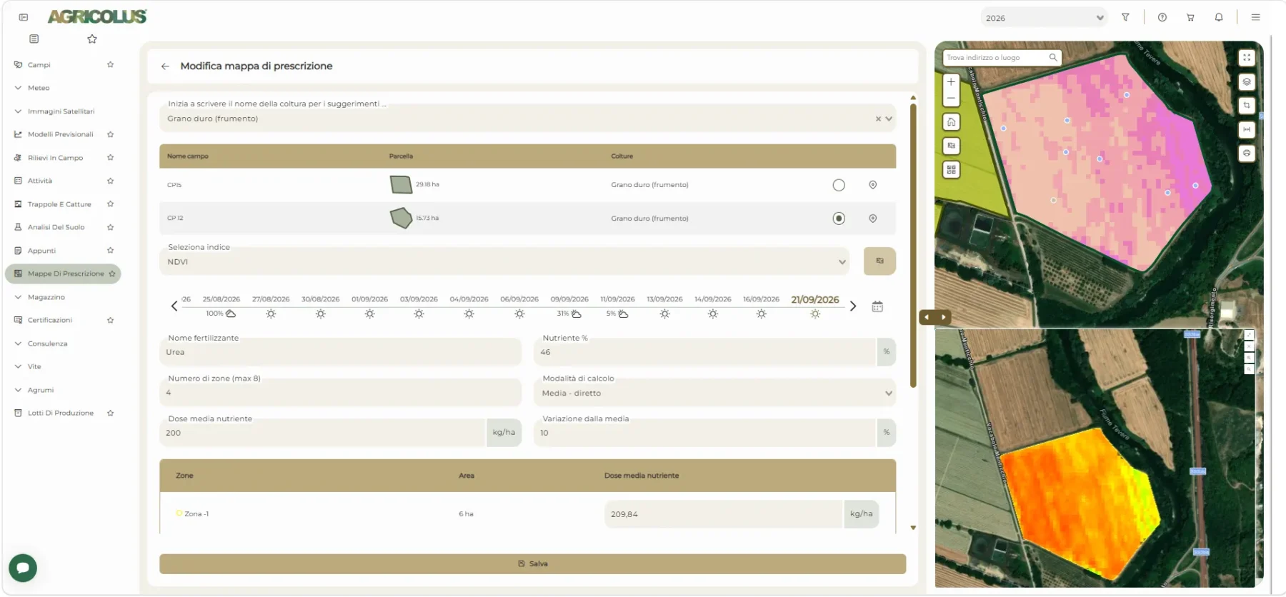
This approach moves beyond uniform fertiliser distribution and allows application rates to be adjusted according to the characteristics of different zones. Variable-rate fertilisation is therefore a practical example of how collected information can be transformed into actionable insights, promoting efficient input use.
Traceability
Tracing the origin of a food product that reaches the consumer’s table means knowing where and how the raw materials it contains were grown, including the treatments carried out in the field.
With Agricolus, each harvest can be assigned its own production lot to improve the traceability of operations carried out on the farm and access all related information via a QR code.
The benefits of Precision Farming
The adoption of Precision Farming technologies can help improve the productive efficiency and sustainability of farms. The ability to identify the different needs of crops makes it possible to optimise interventions and use resources in a targeted manner.
The benefits can concern both economic aspects, through more efficient input management, and environmental aspects, by reducing waste and limiting the impacts associated with agricultural practices.
Increase crop production
Reduce differences in yield
Increase the quality of the final product
Reduce management costs and inputs supplied
Apps for Precision Farming
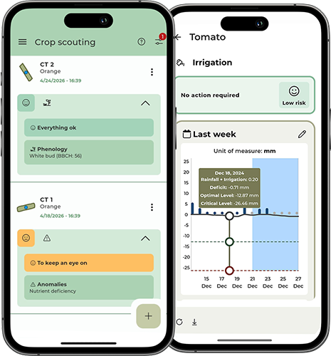
To apply the principles of Precision Farming, farmers can use digital platforms and applications that enable them to collect, organise and analyse farm data. These tools help farmers monitor their fields, access up-to-date information and plan activities, including directly from the field using a smartphone.
The Agricolus app integrates several features for agronomic management: from field mapping and satellite index visualisation to weather data and forecasting models, as well as registering field observations and crop operations to keep the digital Farm Log up to date.
The collected information can also be accessed through the web platform, supporting coordinated farm management.
To apply the principles of Precision Farming, farmers can use digital platforms and applications that enable them to collect, organise and analyse farm data. These tools help farmers monitor their fields, access up-to-date information and plan activities, including directly from the field using a smartphone.
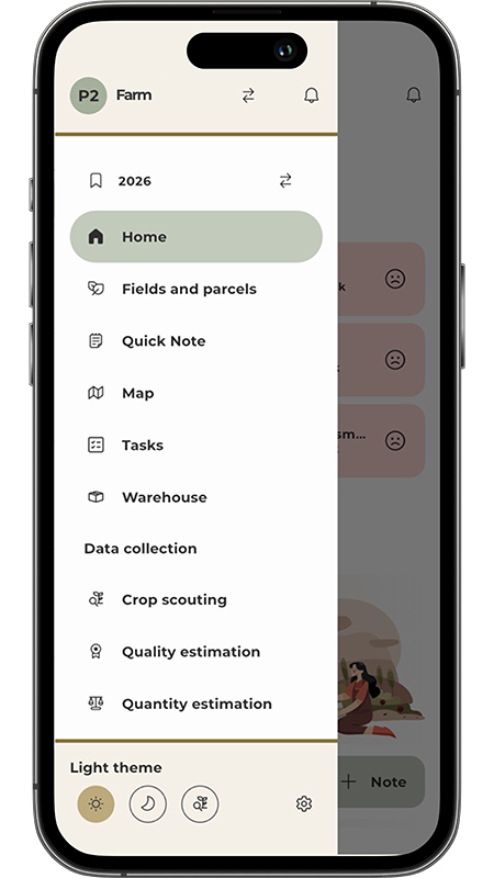
The Agricolus app integrates several features for agronomic management: from field mapping and satellite index visualisation to weather data and forecasting models, as well as registering field observations and crop operations to keep the digital Farm Log up to date.
The collected information can also be accessed through the web platform, supporting coordinated farm management.

