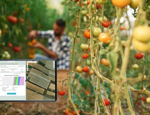
When agricultural technicians talk about remote sensing, they often ask us: “is it better to use satellite or drone for monitoring my field?”. The answer is not so clear and simple to give: this is the reason we are going to compare the characteristics of the two means.
The comparison
The data obtained by drone and satellite are very variable and are characterized by the different frequency of data availability over time and by the different spatial resolution (the size of the pixel on the ground). For example, a data with a spatial resolution of 10m means that each pixel represents an area of 10m x 10m on the ground.
The differences obviously depend not only on the acquisition medium, but also on the sensor that is used.
Drones
Drones fly at a few dozen meters of height. The images have a high spatial resolution: they allow to clearly visualize the inter-row of the plants, to identify the foliage of the trees or the presence of a well or a building in the field.

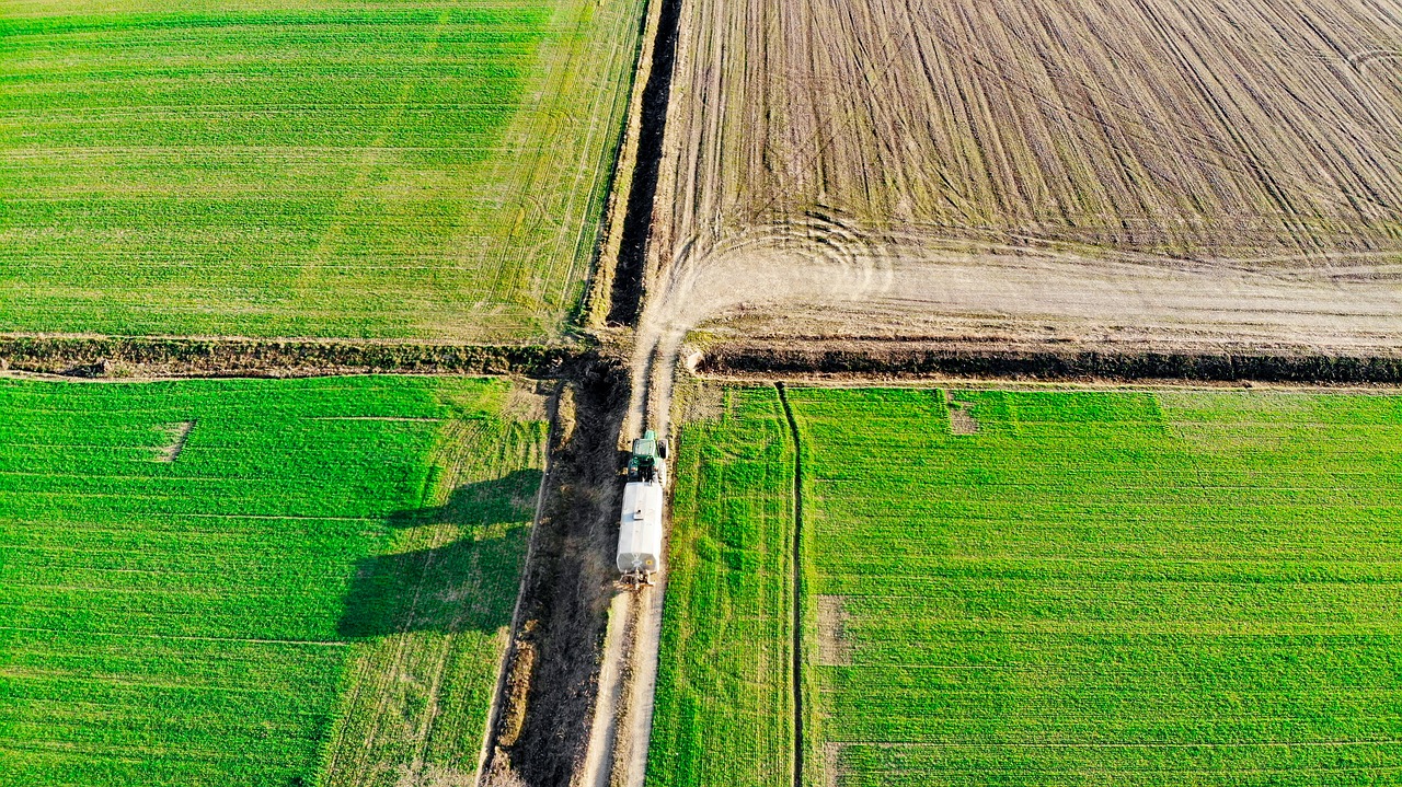
Drone flight over a field
The drone flight is carried out according to farmer’s request and during the appropriate weather conditions. As a result, these flights have an irregular time resolution.
The most common multispectral sensors installed on the drone detect reflectance in the visible, red-edge and near-infrared bands. They rarely include bands in the SWIR wavelength.
What does it mean? It is possible to calculate vigor indices from the drone, as well as display an RGB map of your field, while it is rare to calculate multispectral chlorophyll and water stress indices.
Satellites
There are many satellites that acquire multispectral images from space. The most common are Sentinel-2, Landsat 8, Planetscope, Sky Sat. The images obtained by satellite have a spatial resolution of a few meters: Landsat provides data with a spatial resolution of 30m, while Sentinel-2 of 10, 20 or 60 m (depending on the band), Planetscope of 3m and SkySat of 1m.
The temporal resolution is regular. For example, Landsat 8 is available every 16 days, while Sentinel-2 is available every 3/5 days (depending on the zone). Planetscope and Skysat have a daily resolution.
The regular time resolution determines the availability of the data in several phases of the crop development. But it is important to keep in mind that, when the area under examination is covered by clouds, the data is not usable.
Some satellites have the possibility to acquire many spectral bands. Sentinel-2 acquires 12 spectral bands that allow to calculate not only the vigor indices but also those of water stress and chlorophyll. Landsat 8 also allows the calculation of vigor and chlorophyll indices. Planetscope, instead, only allows the calculation of vigor indices.
Conclusion
Drone or satellite? Everything depends on the cost/benefit ratio that each farmer can calculate according to his needs.
From an organizational point of view, it must be considered that the drone flight is an on-demand service that can be provided in phenological phases specific to the crop, in agreement with the farmer. On the other hand, it is infrequent that the farm is able to perform drone flights regularly throughout the season.
Other factors to be evaluated include the specific characteristics of the crops: those with very narrow inter-row spacing, such as cereals or soya, have no particular advantages in using high spatial resolution indices, especially on large and regular fields.
On the other hand, it is very useful to verify the evolution of the index over time. Scientific studies such as (Benincasa et al., 2018) have compared NDVI by drone with that calculated by satellite on common wheat, and concluded that the results are substantially equivalent.
The need for a data with better spatial resolution is instead with wide inter-row, variable soil management, small fields. The company can also evaluate the use of satellite data integrated with one or more drone flights.