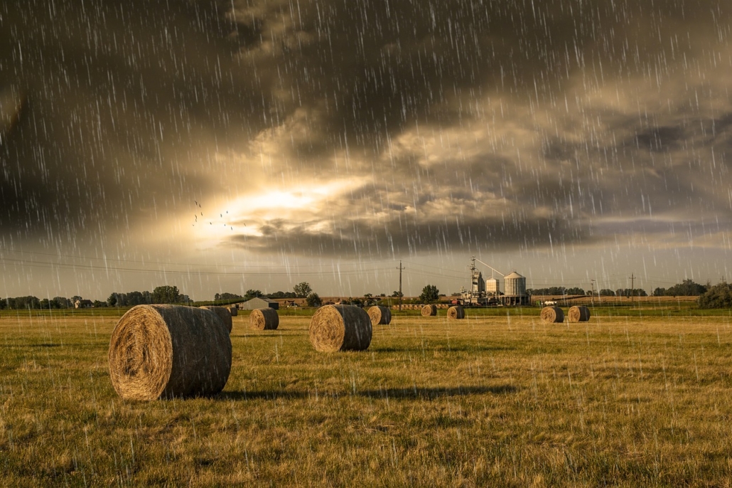
The importance of weather data in agriculture is undisputed: farmers know that work organization and decisions in the medium/long term are based on weather forecasts and seasonal or climatic trends in the area.
These data are very important because farmers and technicians can rely on forecast models for the calculation of phenology, plant diseases, irrigation and nutrient balances. Consequently, it is essential for farms to consult meteorological/climatic data with a high level of reliability.
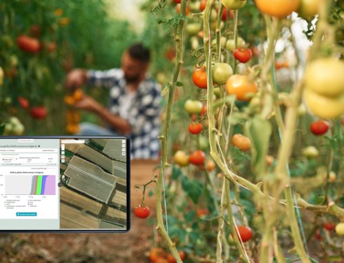
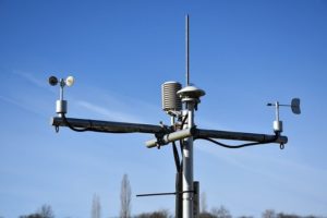
Agricolus platform uses physical weather stations, located in strategic points of the farm, that are able to provide accurate data every hour.
In addition to this type of station, Agricolus has decided to use the virtual weather stations (or virtual points) of meteoblue, worldwide provider of high quality weather services.
Virtual weather stations: what are they?
Virtual weather stations are points identified by geographical coordinates for which weather data are simulated using multiple weather forecast models combined with available satellite data, rain radar data, and information from nearby physical stations. The weather forecast models further take into account different characteristics of the local topography and are able to estimate different weather variables at the chosen point.
Physical and virtual weather stations: a comparison
Virtual weather points cost about 10 times less than physical stations.
From a technical point of view, they do not need maintenance and do not make some crop operations difficult. This means that they can be located in the most representative areas of the farm, avoinding to consider the accessibility or the size of the station, as is the case with physical weather stations.
Finally, the virtual weather points are able to provide weather data continuously, without the risk of malfunctioning.
On the other hand, the data obtained from virtual weather points can be less reliable than those obtained from physical weather stations, since they depend on forecast models that can sometimes be wrong.
The data are simulated at a resolution of about 3 x 3 km: the lower reliability can be a limitation to their use, especially if farmers use forecast models with high sensitivity.
Which station is better to use?
The preference to adopt virtual or physical weather stations strictly depends on the cost-opportunity in the different farms’ situations.
It is good to consider that the number of weather stations installed in the farm should be proportional to the number of microclimatic contexts in which the different fields are located.
In fact, the data recorded by the weather stations should be representative of the fields with which they are associated: this means that in farms having contiguous fields and uniform location and exposure it may be sufficient to install a single weather station.
On the other hand, in farms having fields scattered across several locations, a single weather station may not provide reliable data for all locations where the fields are situated.
Another consideration to keep in mind is that, in marginal or hard-to-access areas, installing and maintaining physical stations can be particularly expensive, while the level of accuracy required may be limited.
In each farm context, it is therefore necessary to make a careful analysis of technical needs and economic aspects in order to find a customized and effective solution. For example, one could install one physical weather station and use its data to improve the accuracy of virtual weather stations nearby.